
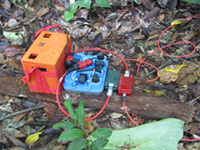
Earthquake measuring equipment
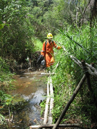
Surveyors crossing the river
It is advised by the operator of the Brunei Oil project in which the Company owns 21% of the participating interest that
1. Having identified several interesting leads on 2D seismic data in the northern part of Brunei Block M, it is believing that a 3D seismic survey will provide the consortium with detailed subsurface information along the northern, having less explored portion of belait trend.
Preparatory works for 3D seismic survey has begun on surveying and line clearing. The survey covers about 136 sq. km. and expected to take 5 months, and was taken for detailed scrutiny to reduce risk before having considered for drilling a well thereat.
The area to be covered by the Belait, North 3D seismic survey lies in the centre of the northern part of Block M and covers a northern extension of the prospective trend covered by the 2009 Belaid 3D seismic survey. The area is bisected by the Belait River with jungle covered hills to the south and more subdued terrain to the north. The purpose of the survey is to identify additional drilling target along the trend for possible drilling latter.
2. It is an exciting interval for the consortium, the first well, Mawar-1 in the southern of Belait trend is now due to spud within these few days by the contractor BGP Inc. The new crew members estimated to the maximum of more than 1,000 persons in September this year when the survey reaches full operational capacity.
The Belait trend is characterized as having reasonable hydrocarbons of the range of 8-64 million barrels of oil. Block M is regarded as under-explored. No concerted exploration using modern technique has been effected during the recent 20 or more years.
Updated:2010-07-13